


RETROCHANGE use cases and open services
Retrospective forest and landscape change analysis from historical satellite imagery.
- 1975
- KH-9 Hexagon imagery
- 877
- GeoTIFF map sheets
- 2
- cross-border study areas
Open services
View, connect to or download the imagery.
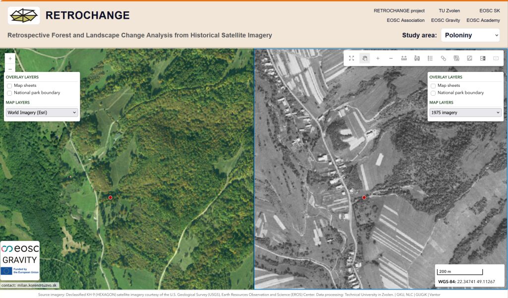
RETROCHANGE Interactive Web Map
Explore the 1975 imagery in your browser and compare it with contemporary orthophotos in single, swipe or side-by-side view.
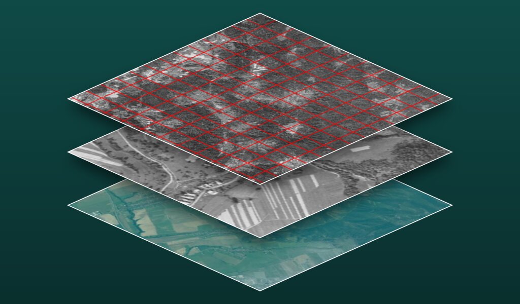
RETROCHANGE Web Map Services
Public map services for the imagery and its reference layers, ready to add to QGIS, ArcGIS Pro or your own web maps.
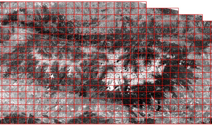
RETROCHANGE Data Packages
Georeferenced GeoTIFF map sheets to download: 551 for the High Tatras and 326 for Poloniny–Bieszczady. Registration required.
Use cases
Documented research workflows you can reproduce and reuse.
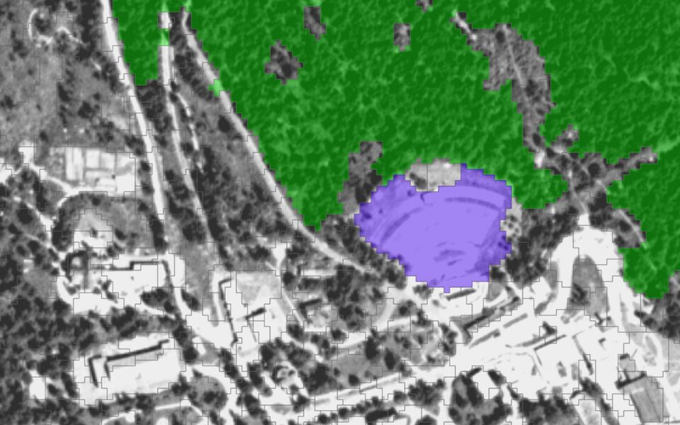 Land-cover review
RETROCOVER
Historical land-cover mapping
Turns a black-and-white image into a documented land-cover map through image segmentation and expert review.
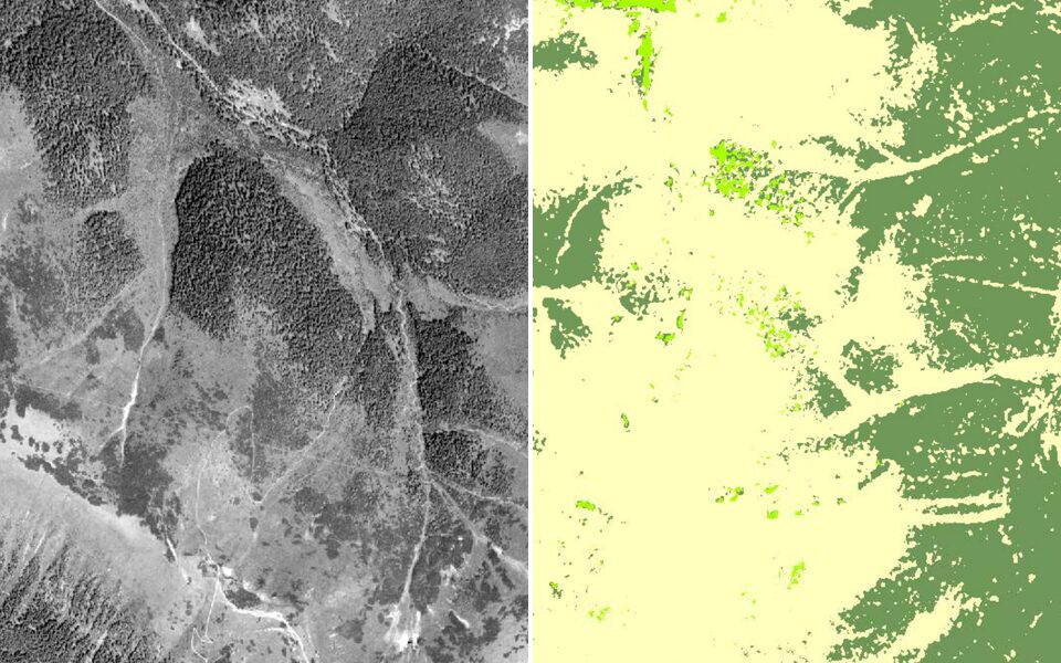 1975 image
Classification
RETROFOREST
Mountain forest classification
Tests how well tone, texture and terrain separate forest from dwarf pine, using Random Forest models and spatial validation.
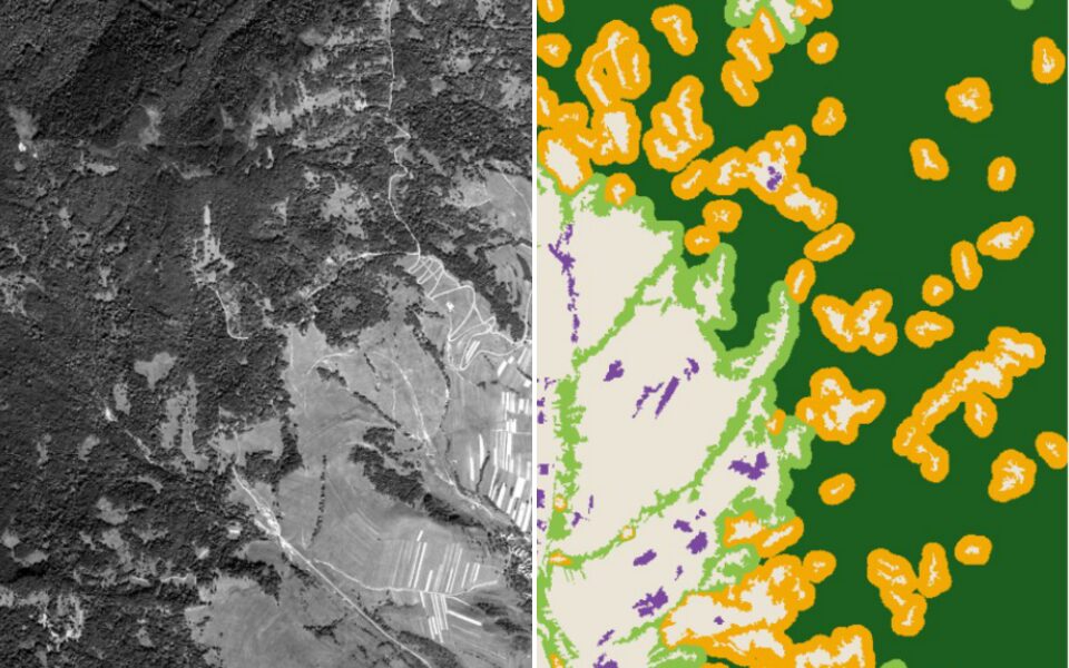 1975 image
Morphology
RETROFRAG
Forest fragmentation and core forest
Measures forest patches, edges and core forest from forest maps, for one area or compared across dates and areas.
 1975 image
Canopy gaps
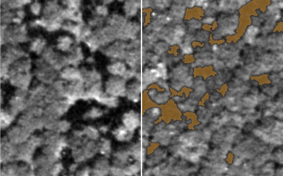
RETROCANOPY
Historical canopy gap analysis
Reveals small canopy openings and disturbance patterns in an old-growth beech forest from a single satellite image.